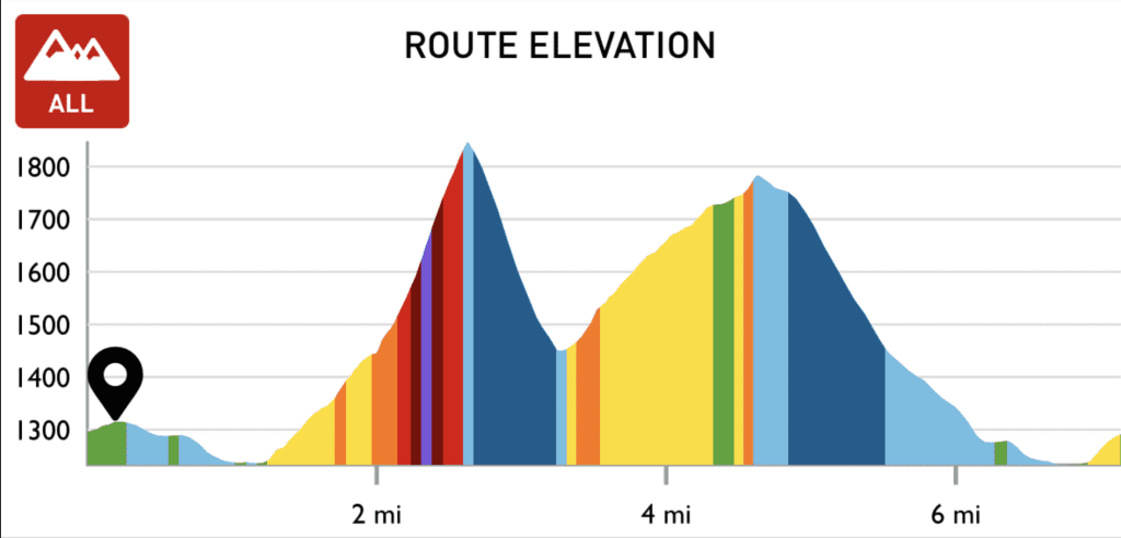
Why doesn’t the Route Elevation Chart match my exact location or gradient?
The position shown on elevation charts is updated every 30 seconds and may not always align exactly with your real-time location. To keep processing efficient, the chart uses a simplified representation of the route, so your position is matched to the nearest available point on the chart. This can cause the marker to appear slightly ahead of or behind your actual location.
Gradient values are also calculated using sampled segments of the route (typically around 50–100 meters, depending on zoom level). Because of this, transitions between gradients may not always match the exact point where the slope changes on the road.